The Himalaya on the Move
The Himalaya continue to form as the Indian and Eurasian plates converge. Their relative convergence in the region is about 40–50 mm per year, but that is horizontal plate motion, not the uplift rate of every peak. GPS and other measurements show millimeters-per-year uplift in some areas, while earthquakes, erosion, landslides, and glaciers also change surface elevation. The range therefore does not rise everywhere at the same rate.
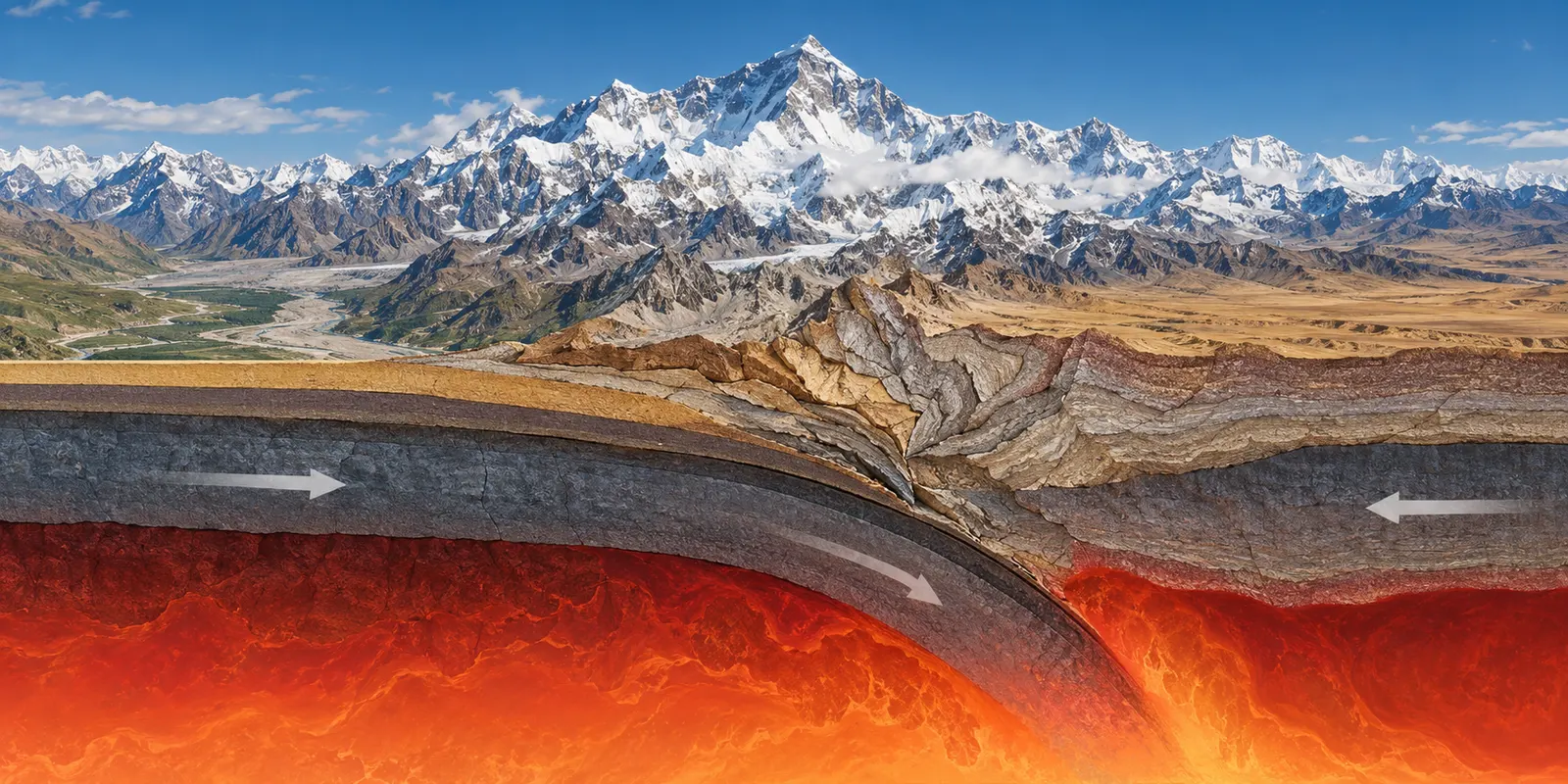
AI-generated conceptual tectonic cross-section, not measured GPS data.