The Babylonian Map of the World
The Babylonian “Map of the World,” or Imago Mundi, is one of the oldest known schematic world maps. The clay tablet is dated to about the sixth century BCE. It shows Babylon by the Euphrates, other Mesopotamian lands, and a circular “Bitter River” beyond which lie distant regions. It is both a geographical diagram and a reflection of Babylonian ideas about the world.
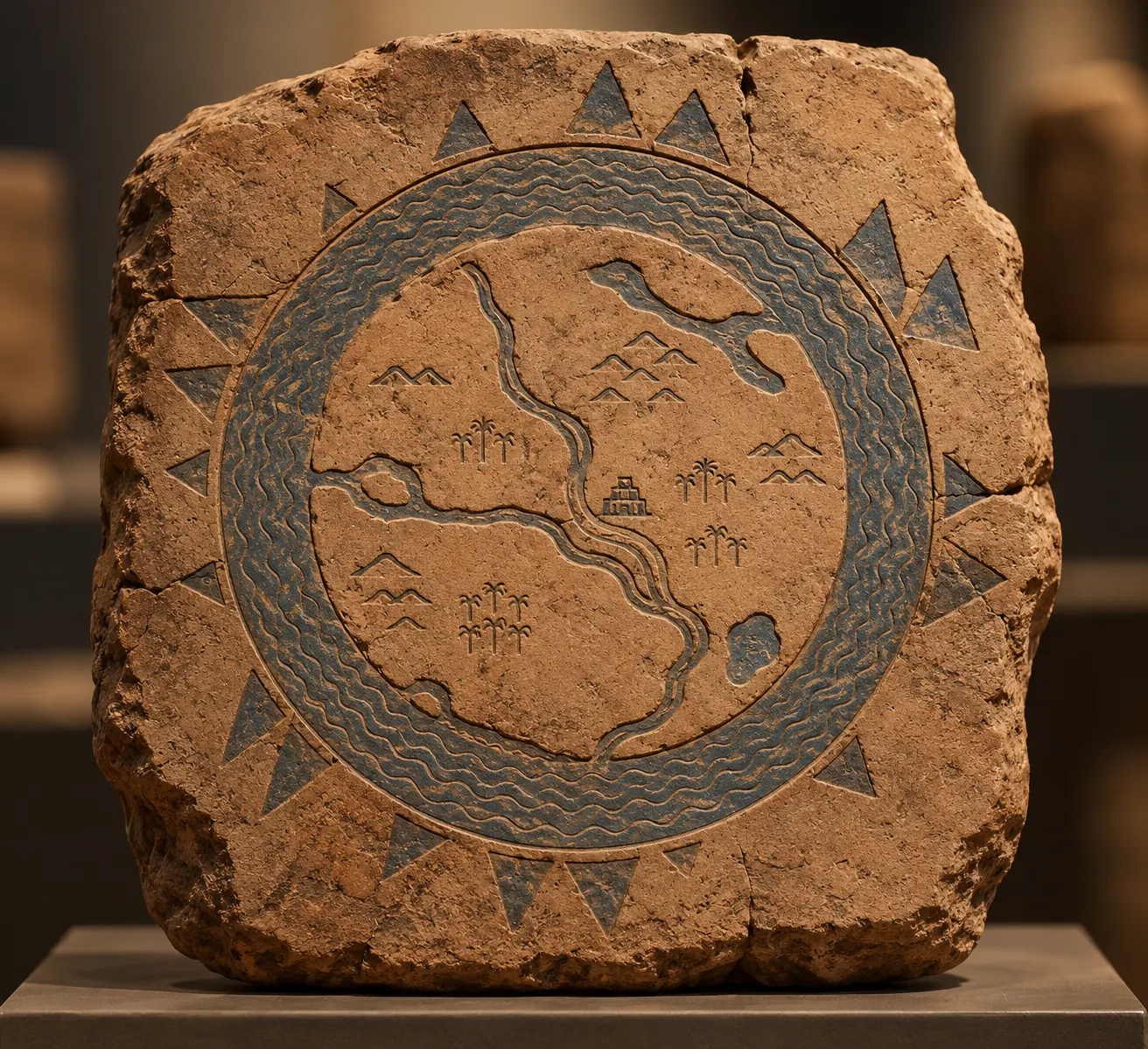
Schematic reconstruction generated by AI; not a photograph of the tablet.